Belle of Louisville
Louisville Waterfront Park
Falls of the Ohio State Park
Six Mile Island State Nature Preserve
Riverside - The Farnsley~Moremen Landing
US Coast Guard - Group Ohio Valley
McAlpine Upper Water Level Prediction
7-day Louisville Forcast - National Weather Service
River Watch-National Weather Service
Navigation Info-Army Corp of Engineers
Current Lake Levels
Water Quality Reports(2001)
Kentucky Boating & Fishing Info
Madison Regatta
Louisville Area Pages
Official Louisville Visitors Page
City of Louisville - Official Website
Louisville Free Public Library
Business First
The Courier-Journal
Louisville.com / Louisville Magazine
Churchill Downs
University of Louisville
|
CHARTS
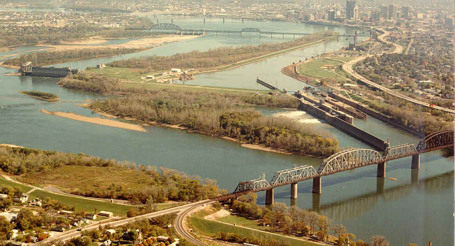
Downtown Chart (Mile 604-600)
Six Mile Chart (Mile 600-596)
Twelve Mile Chart (Mile 595-591)
Heather's, Grassy Flats, Tartans (Mile 591-587)
Rivers Edge, Bushmans (Mile 586-583)
Eighteen Mile, Westport (Mile 583-579)
Bethlehem(Mile 578-574)
Wises Landing(Mile 573-570)
Spring Creek(Mile 569-565)
Cooper Creek(Mile 565-560)
Madison(Mile 559-556)
(Mile 555-552)
(Mile 551-547)
Carrollton(Mile 546-543)
(Mile 542-539)
(Mile 538-534)
Markland Locks & Dam(Mile 534-530)
TRIMARC
Louisville Traffic Reports
Video Tours
|